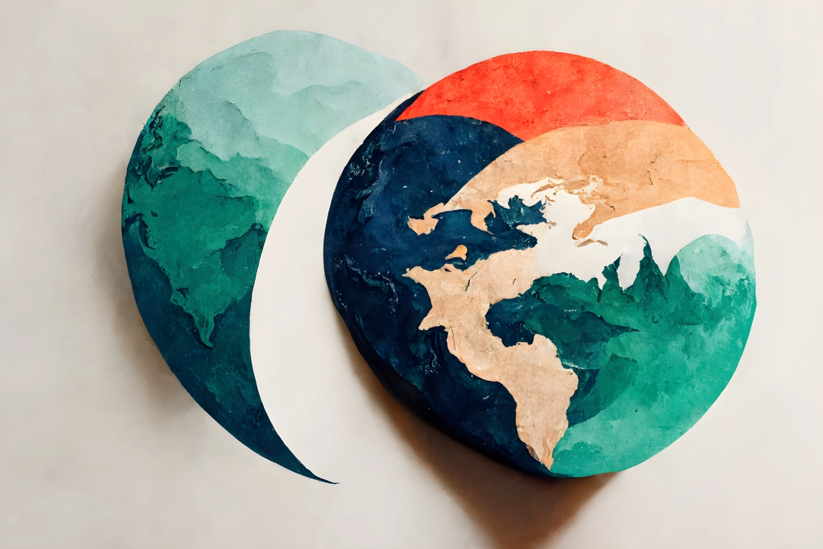
Interactive Maps
Showcase your data through custom maps 🗺️
Maps are a great tool to display a multitude of country related data such as GDP, HDI, Gini and much more.
Alternatively, you can use this tool to show us all the countries you've been to! 🧭
This is a tool developed by Miguel Duarte

Artwork generated through Midjourney A.I.
Steps for map creation:
- Choose one of our available maps;
- Select a color through our Color Picker;
- Click on the countries that you want to apply the color to;
- Alternatively select a Political Block or a Geographic Region;
- In order to Zoom and/or Drag the map, press and hold the Alt (Windows) or Option (Mac) key and simultaneously use your mouse/trackpad to scroll and drag. Alternatively, you can click on the map and use the + and - keys to zoom and the arrow keys to change the map position;
- You can remove the color that has been assigned to a country by right clicking on the country or by doing a long press on mobile;
- Fill the Map Title and Color Legend fields in a way that describes the data you're showcasing;
- Once you're done, go ahead and generate your map as a free to use PNG image!